- 139 Views
- 12 Min Read
- (0) Comment
On April 25, 2015, a massive avalanche triggered by the Gorkha earthquake buried Langtang village in seconds, killing over 300 people and making it the single deadliest location in Nepal during the disaster. The valley that once welcomed thousands of trekkers each year was transformed into a debris field overnight.
A decade later, Langtang Valley is open again, rebuilt by survivors who chose to return rather than abandon their ancestral home. This guide covers what happened during the earthquake, how the landscape and community have changed, and what trekkers can expect when visiting Langtang today.
What happened to Langtang Valley during the Nepal earthquake
On April 25, 2015, the 7.8-magnitude Gorkha earthquake triggered a massive rock-ice avalanche that completely buried Langtang village, killing over 300 people and making it the single deadliest location in all of Nepal during the disaster. The avalanche originated from a hanging glacier on Langtang Lirung, and the resulting air blast, with hurricane-force winds, flattened forests and structures far beyond the debris field itself. More than 100 bodies were never recovered.
The Gorkha earthquake and its epicenter
The earthquake’s epicenter was located in Gorkha district, roughly 200 km from Langtang Valley. The valley’s position directly beneath steep, glaciated peaks made it extraordinarily vulnerable to secondary effects. While Kathmandu suffered widespread building damage, Langtang experienced something far more violent: the shaking destabilized massive amounts of ice and rock perched thousands of meters above the valley floor.
The avalanche that buried Langtang village
When the earthquake struck, a section of Langtang Lirung’s glacier broke loose and combined with rock debris to form an avalanche traveling at tremendous speed down the mountainside. The mass of ice and stone hit the valley floor with such force that it created an air blast, a pressure wave that extended far beyond the physical debris. The air blast alone destroyed structures and uprooted trees on the opposite side of the valley, hundreds of meters from where the avalanche material actually landed.
Why the destruction was catastrophic
Several factors combined to make Langtang’s destruction so complete:
- Terrain vulnerability: Steep mountainsides funneled directly into a narrow valley floor where the village sat
- Snowfall conditions: Abnormal snow accumulation in the weeks before the earthquake added weight to already unstable glacial ice
- Air blast effect: Pressure waves caused destruction far beyond the visible debris field
- Time of day: The earthquake struck at 11:56 AM when villagers and trekkers were active outdoors
How many people died in Langtang village
The disaster claimed approximately 308 lives in Langtang Valley: 176 local Tamang villagers, around 50 foreign trekkers, and dozens of Nepali guides and tourism workers. The village accounted for roughly 3.5% of all earthquake deaths across Nepal, despite being home to fewer than 200 permanent residents.
Local villagers and Tamang families lost
The ethnic Tamang community had lived in Langtang for generations, maintaining Buddhist traditions and operating the teahouses that served trekkers on one of Nepal’s most accessible high-altitude routes. Entire family lines were lost in the disaster. Some families lost every member, while others lost all but one or two survivors who happened to be away from the village center when the avalanche struck.
Foreign trekkers and Nepali guides killed
April is peak trekking season in Langtang, and the valley was full of visitors when the earthquake hit. Trekkers from multiple countries, including Japan, Israel, France, and the United States, died alongside their Nepali guides and porters. Many were staying in teahouses directly in the avalanche path, with no warning and no possibility of escape.
Survivors of the Langtang disaster
Those who survived were typically at higher elevations, in side valleys, or had left the village earlier that morning. Some were at Kyanjin Gompa, the monastery settlement further up the valley, which escaped the worst of the destruction. Others were on the trail between villages when the earthquake struck. Survivors faced days of waiting for helicopter evacuations, with limited food and water, surrounded by devastation.
Langtang Valley before the earthquake
Understanding what was lost requires knowing what Langtang was before April 2015. The valley was one of Nepal’s most beloved trekking destinations: close to Kathmandu, culturally rich, and scenically spectacular.
Traditional Tamang villages and Buddhist culture
The Langtang Tamang maintained a distinct cultural identity shaped by centuries of life at high altitude. Prayer wheels lined the trails, mani stones carved with Buddhist mantras marked village boundaries, and the rhythm of daily life followed ancient patterns. Kyanjin Gompa, the monastery at the valley’s head, served as the spiritual center of the community.
Popular trekking routes and teahouses
Langtang’s accessibility made it a favorite among trekkers with limited time. The valley sits just 60 km north of Kathmandu, and the trek to Kyanjin Gompa typically took only four to five days. Well-established teahouses offered comfortable accommodation, hot meals, and the kind of warm hospitality that brought visitors back year after year.
The local economy built on mountain tourism
Tourism was the economic foundation of Langtang village. Families operated lodges, worked as guides and porters, and sold handicrafts to passing trekkers. The income supported not just individual households but the entire community, funding schools, maintaining trails, and preserving cultural sites.
Langtang Valley after the earthquake
The immediate aftermath was chaotic and heartbreaking. Survivors waited days for rescue, and the scale of destruction made recovery efforts extraordinarily difficult. Yet even in those first terrible weeks, the people of Langtang began planning their return.
Immediate aftermath and rescue operations
Helicopter evacuations began within days, but reaching the valley was complicated by aftershocks, unstable terrain, and the sheer remoteness of the location. Survivors gathered at Kyanjin Gompa and other intact settlements, sharing whatever food and supplies remained.
Rebuilding lodges and trail infrastructure
The reconstruction effort took years and required both international aid and extraordinary local determination. Trails were cleared and rerouted where necessary. Bridges were rebuilt. New teahouses began appearing along the route, often constructed with improved earthquake-resistant techniques. By 2017, the main trekking route to Kyanjin Gompa was fully operational again.
Community recovery and village resettlement
Surviving families faced an impossible choice: abandon their ancestral home or rebuild in a place that had taken everything from them. Many chose to return. The new Langtang village sits approximately 100 meters above the original site, on ground considered safer from future avalanche risk.
Langtang village now
Trekkers visiting Langtang today encounter a valley that is both familiar and transformed. The trails are open, the teahouses are welcoming, and the mountains remain as spectacular as ever. The scars of 2015 are visible everywhere, and the memorial sites demand respectful acknowledgment.
What remains of the original village site
The original Langtang village location is now a debris field. Massive boulders, some the size of houses, cover what was once a thriving settlement. The scale of the destruction is difficult to comprehend until you stand there and realize that everything beneath those rocks (homes, teahouses, lives) is gone forever.
Memorial sites and stupa construction
Memorial stupas now stand at the site, honoring those who died. A ceremony in 2015 included 176 statues representing the local residents who perished. Trekkers pass directly by the memorials, and most pause to pay respects. The atmosphere is quiet, reflective, and deeply moving.
New teahouses and rebuilt settlements
The new Langtang village offers functional accommodation for trekkers, though the facilities are simpler than what existed before. Several teahouses now operate, providing meals, beds, and the essential services that make the trek possible. The owners are often survivors or family members of those who died, people who chose to rebuild rather than leave.
| Location | Status | Notes |
|---|---|---|
| Syabrubesi to Lama Hotel | Fully restored | Multiple lodge options available |
| Lama Hotel to Langtang village area | Rebuilt | New lodges near memorial site |
| Langtang to Kyanjin Gompa | Fully operational | Best mountain views and monastery access |
How the landscape changed after the disaster
The physical geography of Langtang Valley was permanently altered by the earthquake and avalanche. Trekkers who visited before 2015 describe a landscape that no longer exists. The valley floor sits higher in places, buried under meters of rock and ice debris. Entire sections of forest were obliterated, and the contours of the land itself shifted in ways that changed how water flows, where trails could be built, and which areas remain safe for settlement.
Altered mountain views and valley terrain
The avalanche stripped vegetation from entire hillsides and deposited debris across the valley floor. Ridgelines that once appeared smooth now show exposed rock faces. The valley itself is wider in places where the air blast cleared everything in its path.
New glacial lakes and debris fields
Geological surveys following the earthquake identified new water features created by the disaster. Debris dams formed temporary lakes, and the glacial landscape shifted in ways that scientists continue to study. For trekkers, the most noticeable change is the boulder field that now dominates the middle section of the valley.
Forest regrowth and environmental recovery
Signs of recovery are visible throughout the valley. Vegetation is returning to damaged slopes, and the forests below the avalanche zone remain largely intact. The rhododendron blooms still paint the lower trails in spring, and wildlife has returned to areas that were temporarily abandoned.
Trekking Langtang Valley today
The Langtang Valley trek is fully open and safe for visitors. The main route to Kyanjin Gompa follows well-maintained trails, and teahouse accommodation is available throughout.
Current trail conditions and open routes
The primary trekking route from Syabrubesi to Kyanjin Gompa is in good condition. Bridges have been rebuilt, trail markers are clear, and the path is well-traveled during peak seasons. Some sections were rerouted after the earthquake to avoid unstable terrain, but the changes are seamless for trekkers. The standard itinerary takes seven to ten days round-trip from Kathmandu.
Lodges and accommodations available now
Teahouses operate at regular intervals along the route, offering basic but comfortable accommodation. Expect simple rooms, shared facilities, and hearty dal bhat. The lodges at Kyanjin Gompa are particularly well-established, with views of Langtang Lirung and easy access to the monastery.
Tip: Teahouse capacity is limited compared to pre-earthquake levels. Trekking with a local operator helps ensure accommodation is arranged in advance, especially during busy periods.
Best seasons to trek Langtang Valley
October and November offer the clearest mountain views and most stable weather. March through May brings warmer temperatures and blooming rhododendrons in the lower forests. Winter trekking (December to February) is possible but cold, with some higher lodges closed. Monsoon season (June to September) brings rain, leeches, and reduced visibility.
How visiting Langtang supports earthquake recovery
Tourism is the primary income source for Langtang’s surviving community. Every trekker who visits contributes directly to families who lost everything and are rebuilding their lives.
The decision to return and rebuild was not easy. Many survivors faced pressure to relocate permanently to Kathmandu or other valleys, but those who came back did so with a clear purpose: to honor the memory of those lost and to preserve their cultural heritage in the place their ancestors had called home for generations.
Economic benefits for local families
When you stay in a teahouse, eat a meal, or hire a local guide, that money goes directly to families who depend on trekking income. Many lodge owners lost family members in the disaster and chose to rebuild rather than relocate to Kathmandu.
Sustainable tourism and community resilience
Responsible tourism in Langtang means respecting local customs, minimizing environmental impact, and understanding the history of the place you’re visiting. The community has shown extraordinary resilience, and trekkers who approach the valley with awareness become part of that ongoing story.
Respectful trekking near memorial sites
The memorial stupas at the original village site are sacred spaces:
- At memorial stupas: Remove hats, speak quietly, and walk clockwise around structures
- Photography: Ask permission before photographing memorials
- Offerings: Small donations to memorial maintenance are appreciated
- Guided context: Local guides can share appropriate stories and history
Why trek Langtang Valley with a Nepal-based operator
Trekking with a local operator means guides who know the terrain, the families, and the recovery story firsthand. It also means relationships with teahouse owners that ensure smooth logistics and genuine cultural exchange.
Wilder Way Trekking arranges Langtang Valley treks with experienced local guides, Langtang National Park permits, and flexible itineraries that allow time for respectful visits to memorial sites.
- Local expertise: Guides who know the terrain, families, and recovery story
- Community connections: Relationships with teahouse owners support local economy
- Flexible itineraries: Adjust pace to visit memorial sites respectfully
- Permit handling: Langtang National Park permits arranged seamlessly
FAQs about Langtang Valley earthquake recovery
Is Langtang Valley safe to trek after the earthquake?
Yes, Langtang Valley is safe for trekking and has been fully open to visitors for several years. Trails have been rebuilt, bridges restored, and teahouses operate throughout the route.
How long does the Langtang Valley trek take to complete?
The standard Langtang Valley trek takes approximately seven to ten days round-trip from Kathmandu, depending on pace and whether you include side trips to Kyanjin Ri or Tserko Ri for panoramic views.
Can trekkers visit the Langtang earthquake memorial?
Yes, trekkers pass directly by the memorial stupas and can pay respects at the site where the original Langtang village once stood. The memorials are located along the main trail.
What permits are required for trekking in Langtang Valley?
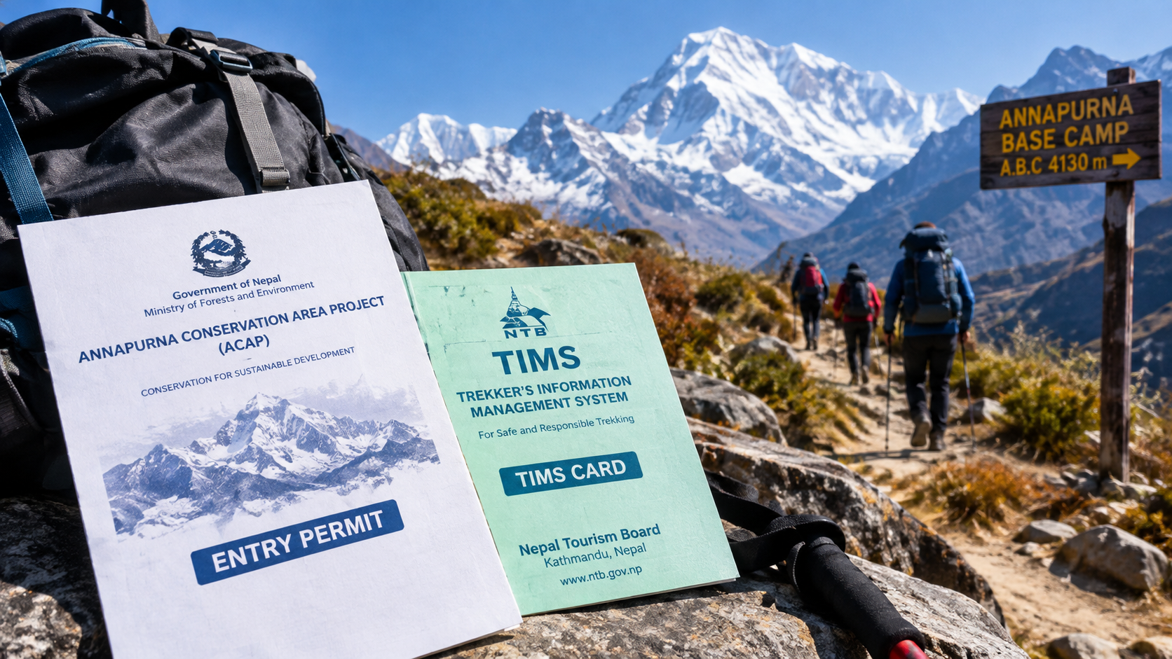
Trekkers need a Langtang National Park entry permit (NPR 3,000 for foreign nationals) and a TIMS card (Trekkers’ Information Management System). Both can be arranged in Kathmandu before departure.
What is the best month to visit Langtang Valley?
October and November offer the clearest mountain views and most stable weather. March through May provides warmer temperatures and blooming rhododendrons in the lower forests.
Do trekkers need a guide for the Langtang Valley trek?
While not legally required, hiring a local guide significantly enhances safety, supports the local economy, and provides meaningful context about the valley’s history and recovery.
How does Langtang Valley trekking compare to Everest Base Camp or Annapurna Circuit?
Langtang offers a less crowded, more culturally intimate experience with easier access from Kathmandu. The trailhead at Syabrubesi is just a seven-hour drive from the capital. Maximum altitude (around 4,984 m at Tserko Ri) is lower than Everest Base Camp, making it suitable for trekkers seeking a shorter route with equally spectacular scenery.